українська
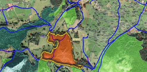
GIS
Mobile navigation and mapping system
Updating of topographic, digital, electronic maps and navigation maps based on aerial surveys of areas using unmanned aerial vehicles and transferring of survey data
The project is known on the basis of the Technological Committee